Hazard Identification

Drawing on our geophysical expertise, we can identify and select appropriate techniques for the identification, location and de-risking of buried hazards such as UXO, voids, sinkholes and underground storage tanks.
A woman analysing hazards in an urban environment

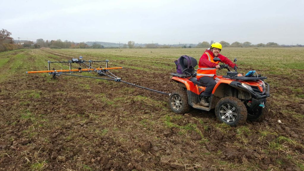
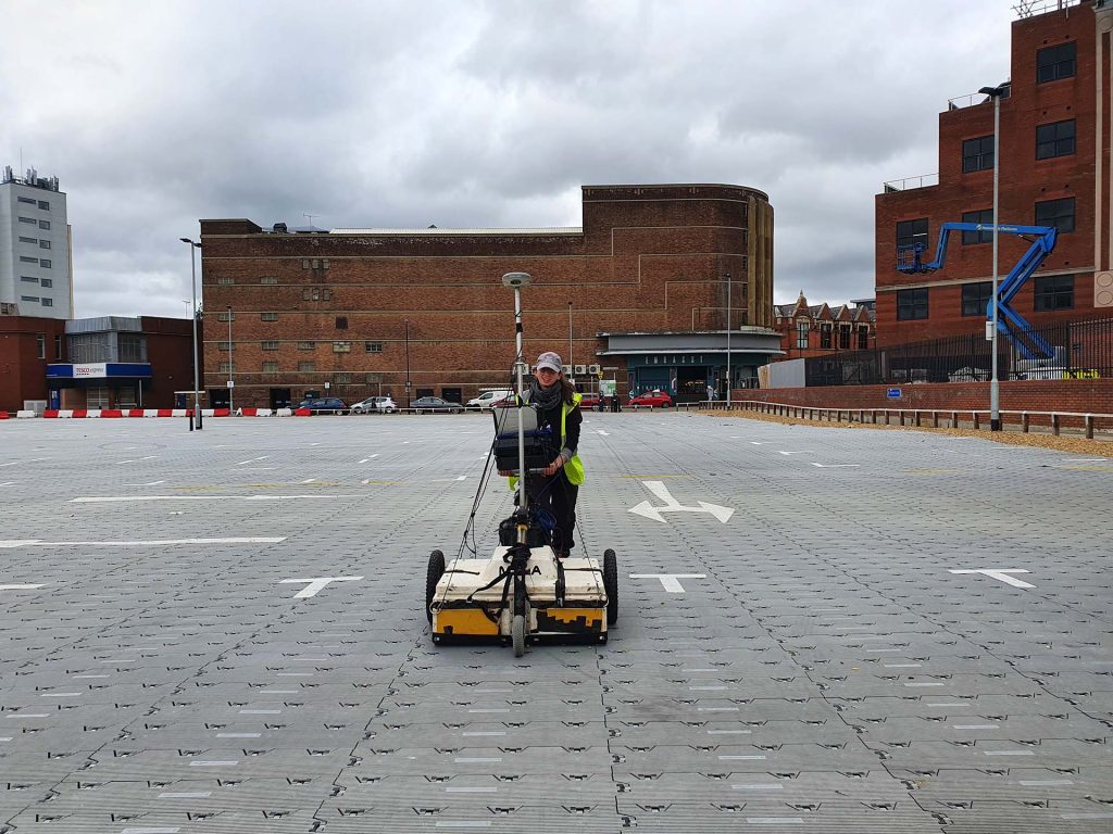
As specialists in near-surface geophysics, we can provide you with unbiased advice and select a survey strategy that is tailored to meet a specific objective or target object. In many cases this may involve using multiple survey methods to provide the highest possible level of confidence in de-risking a site.

We deploy a mixture of bespoke and industry-standard equipment and software to ensure that our data is collected, processed and visualised to the highest standards, and delivered in the required timeframe.

Share

Our services

Learn more about the services that we offer.

Surveying an abbey

Archaeological Surveys

As heritage specialists and a CIfA member organisation, we can design and deliver a geophysical survey programme tailored to the specific aims, objectives and needs of your heritage project.

Get a quote

Tell us about your project and we’ll let you know how we can help.