Ground Penetrating Radar (GPR)

Measures the travel time of reflected high-frequency electromagnetic radiation. Effective for detecting abrupt interface changes and voids, for example foundation remains, graves, burial chambers and cellars.
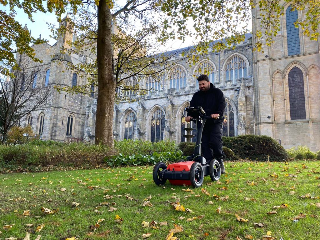
A man pushing GPR equipment

Ground-penetrating radar (GPR) measures the travel time of reflected high-frequency electromagnetic radiation. Effective for detecting abrupt interfaces between materials and fills. Typical example targets include foundation remains, graves, chambers and voids.

Magnitude Surveys can deploy hand-held or motorised, single-channel, multi-channel, multi-frequency or stepped-frequency systems according to the required survey target, depth, resolution and coverage.
Share

Our techniques

Learn more about the techniques that we use.

Magnetic Susceptibility

Measures the ease with which a material can be magnetised. Effective for detecting features with magnetic contrast from the surrounding soil, including burnt features, pits, ditches, and intra-site activity zones.

Magnetometry

Measures the ambient magnetic field strength. Effective for detecting features with magnetic contrast from the surrounding soil, including burnt features, pits and ditches.

Photogrammetry

Uses high-resolution cameras to create accurate and detailed topographical maps, scaled plans and 3D models of assets, sites and landscapes for use in mapping, topographic survey, inspections and monitoring.

Get a quote

Tell us about your project and we’ll let you know how we can help.