We are skilled at collecting, processing and visualising a range of geophysical techniques. This allows us flexibility in designing a survey strategy tailored to your needs and the site environment.
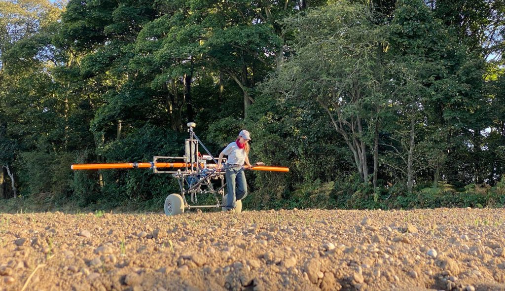
Magnetometry
Measures the ambient magnetic field strength. Effective for detecting features with magnetic contrast from the surrounding soil, including burnt features, pits and ditches.
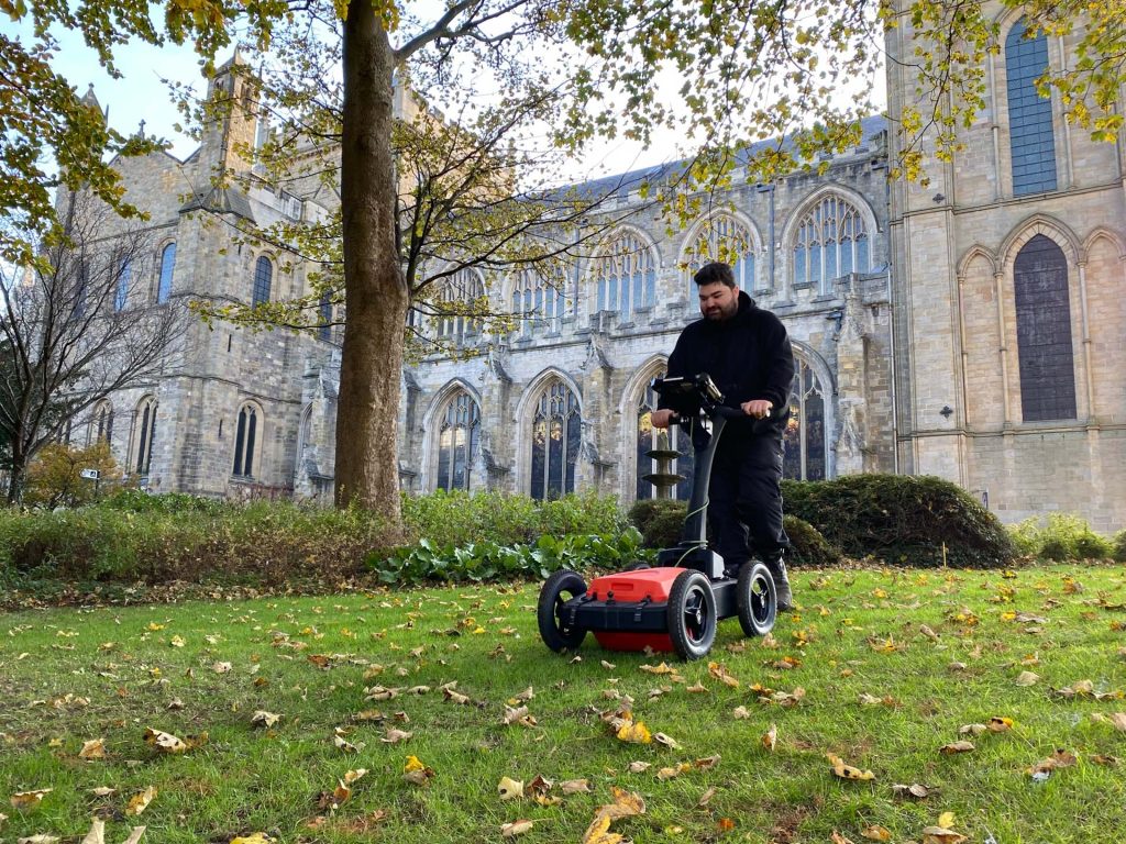
Measures the travel time of reflected high-frequency electromagnetic radiation. Effective for detecting abrupt interface changes and voids, for example foundation remains, graves, burial chambers and cellars.
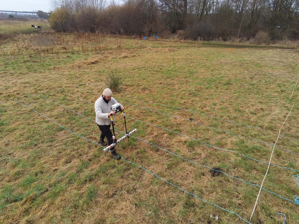
Measures the ease of which current flow can be induced in material. Effective for detecting conductive features, such as geomorphology and subsurface landforms, ditches and earthworks.
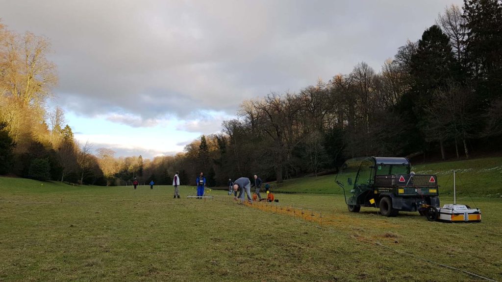
Multiple earth resistance profile measurements are fused to create 2D sections and 3D profiles of electrical resistivity through the ground, commonly used to determine the depth of known features.
Measures the difficulty of passing an electric current through the ground. Effective for detecting features with different moisture content from the surrounding soil, such as foundation remains and ditches.
Measures the ease with which a material can be magnetised. Effective for detecting features with magnetic contrast from the surrounding soil, including burnt features, pits, ditches, and intra-site activity zones.
Incorporating aerial imaging during ‘walkover’ surveys extends the visual range of the surveyor, allowing reconnaissance to be carried out more safely and efficiently, with vastly more informative visual outputs.
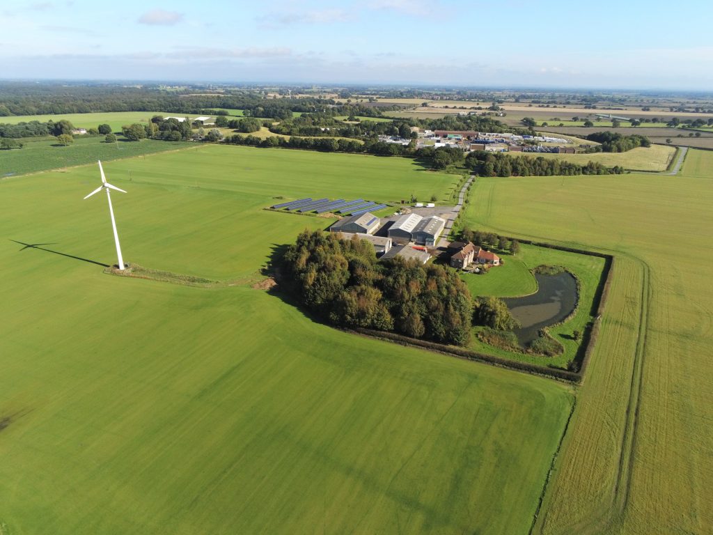
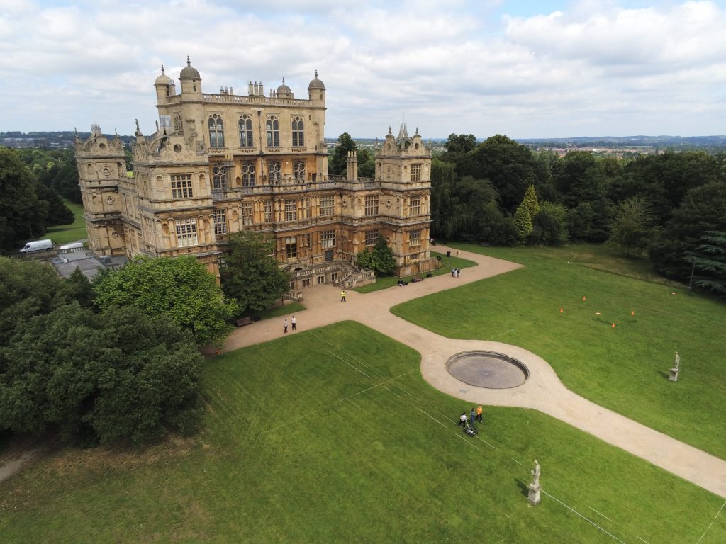
Aerial views provide unique, breath-taking perspectives, capturing assets, sites and landscapes as images, videos or photospheres. Perfect for reconnaissance surveys, settings assessments or promotional campaigns.
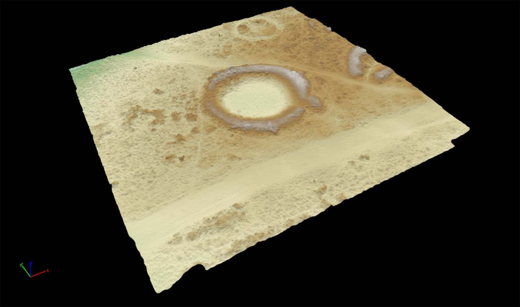
Uses high-resolution cameras to create accurate and detailed topographical maps, scaled plans and 3D models of assets, sites and landscapes for use in mapping, topographic survey, inspections and monitoring.
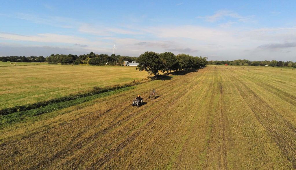
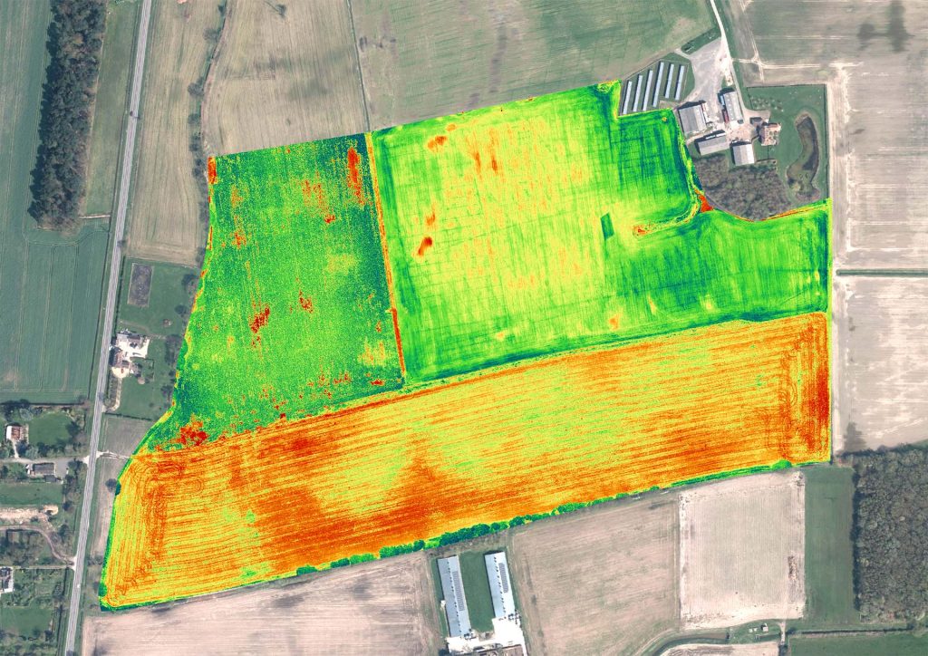
Primarily used in precision agriculture, environmental surveys and forestry, this specialised sensor can also detect cropmarks caused by archaeological and other subsurface features.