Electromagnetic Conductivity (EM)

Measures the ease of which current flow can be induced in material. Effective for detecting conductive features, such as geomorphology and subsurface landforms, ditches and earthworks.
A woman pulling EM equipment in a field

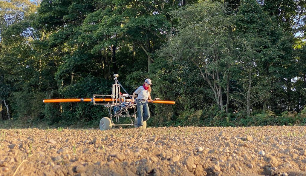
Electromagnetic Conductivity (EM) measures the ease with which electrical current can be induced in a material.

Effective for conductive features, such as geomorphological features, ditches and earthworks. Our equipment can be configured as a wide array to locate geomorphological features at depth, or as a smaller array to detect finer and shallower features such as earthworks and ditches.

Share

Our techniques

Learn more about the techniques that we use.

Magnetometry

Measures the ambient magnetic field strength. Effective for detecting features with magnetic contrast from the surrounding soil, including burnt features, pits and ditches.

Aerial Reconnaissance

Incorporating aerial imaging during ‘walkover’ surveys extends the visual range of the surveyor, allowing reconnaissance to be carried out more safely and efficiently, with vastly more informative visual outputs.

Multispectral Imaging

Primarily used in precision agriculture, environmental surveys and forestry, this specialised sensor can also detect cropmarks caused by archaeological and other subsurface features.

Get a quote

Tell us about your project and we’ll let you know how we can help.