Photogrammetry

Uses high-resolution cameras to create accurate and detailed topographical maps, scaled plans and 3D models of assets, sites and landscapes for use in mapping, topographic survey, inspections and monitoring.
A 3D render

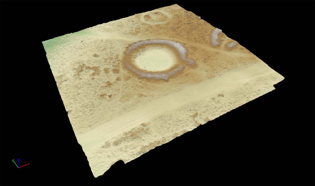
Photogrammetry is a versatile and cost-effective aerial survey technique, which uses overlapping images and camera metadata to reconstruct objects, structures and surfaces in three dimensions.

The data can be used to produced detailed topographic models and map data with a resolution and accuracy of a few centimetres, which makes it ideal for use in earthwork surveys and for the recording and monitoring of standing structures.

Share

Our techniques

Learn more about the techniques that we use.

Magnetometry

Measures the ambient magnetic field strength. Effective for detecting features with magnetic contrast from the surrounding soil, including burnt features, pits and ditches.

Magnetic Susceptibility

Measures the ease with which a material can be magnetised. Effective for detecting features with magnetic contrast from the surrounding soil, including burnt features, pits, ditches, and intra-site activity zones.

Aerial Photography and Videography

Aerial views provide unique, breath-taking perspectives, capturing assets, sites and landscapes as images, videos or photospheres. Perfect for reconnaissance surveys, settings assessments or promotional campaigns.

Get a quote

Tell us about your project and we’ll let you know how we can help.