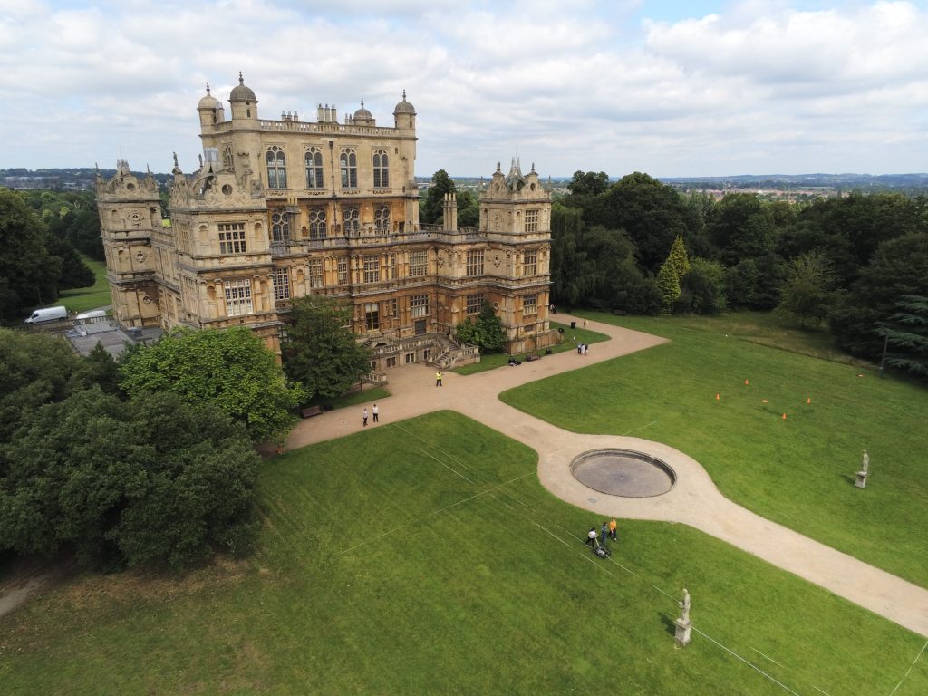
Aerial photographs and videos capture unique and informative perspectives of assets, sites, settings and landscapes. The results are visually stunning and can be used for a variety of purposes such as reconnaissance, inspection and condition monitoring, progress monitoring and promotional campaigns. Typical outputs included edited photographs, videos, panoramas and photospheres.
Magnitude Surveys employs a mixture of lightweight and heavier enterprise-grade aircraft and payloads to suit the needs of a specific project or location. All our pilots are fully qualified and CAA registered.
