Aerial Reconnaissance

Incorporating aerial imaging during ‘walkover’ surveys extends the visual range of the surveyor, allowing reconnaissance to be carried out more safely and efficiently, with vastly more informative visual outputs.
An aerial view of a field and building

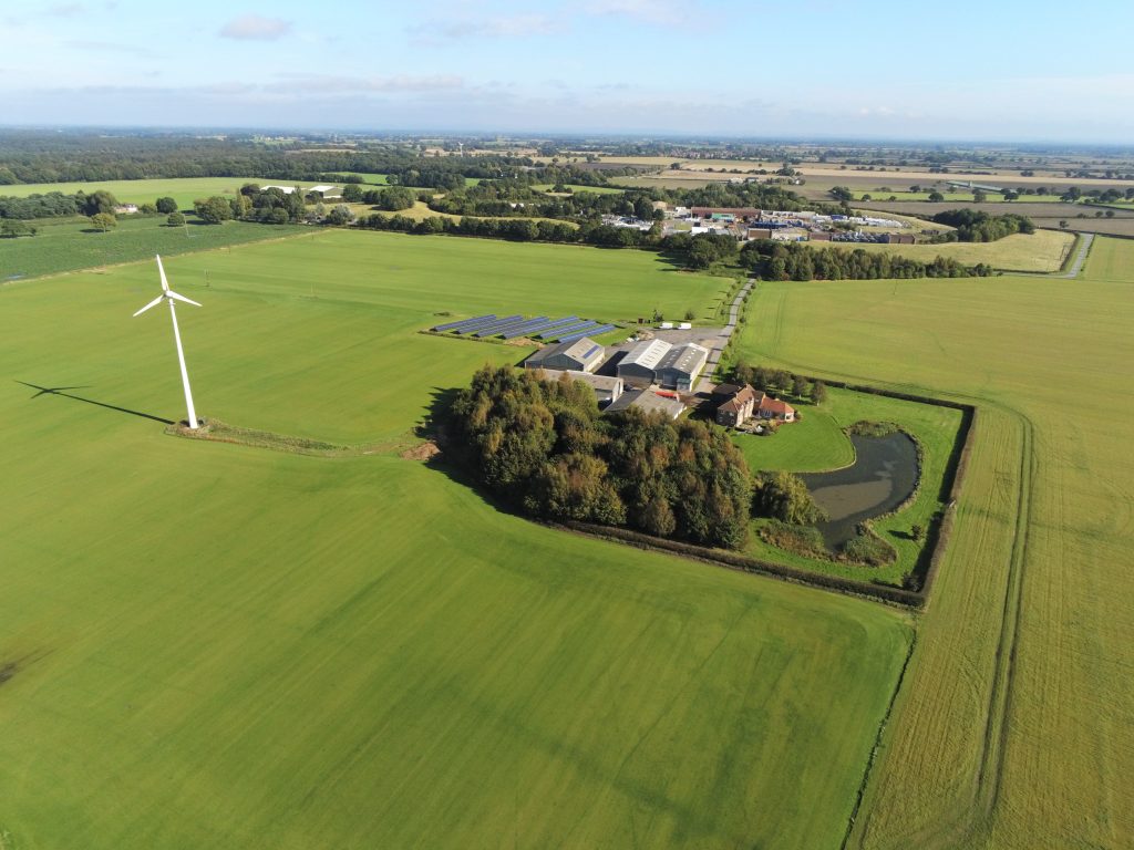
Incorporating aerial imaging methods during ‘walkover’ surveys extends the visual range of the surveyor, allowing more information to be captured from angles that simply aren’t possible in a terrestrial visit. Areas that aren’t yet accessible on foot can also be surveyed over safely from the air.

This means surveys are not only more efficient, but the outputs are of a higher quality, including geotagged photos and video flythroughs. The results can lead to more informed decision-making in subsequent programme design, further saving time and costs by reducing the need for redeployments. This is particularly useful on large or complex schemes, or projects with specific time constraints and a need for detailed access planning.

Share

Our techniques

Learn more about the techniques that we use.

Magnetometry

Measures the ambient magnetic field strength. Effective for detecting features with magnetic contrast from the surrounding soil, including burnt features, pits and ditches.

Magnetic Susceptibility

Measures the ease with which a material can be magnetised. Effective for detecting features with magnetic contrast from the surrounding soil, including burnt features, pits, ditches, and intra-site activity zones.

Photogrammetry

Uses high-resolution cameras to create accurate and detailed topographical maps, scaled plans and 3D models of assets, sites and landscapes for use in mapping, topographic survey, inspections and monitoring.

Get a quote

Tell us about your project and we’ll let you know how we can help.