Magnetometry

Measures the ambient magnetic field strength. Effective for detecting features with magnetic contrast from the surrounding soil, including burnt features, pits and ditches.
Aerial view of a field survey

Magnetometry measures the ambient magnetic field strength. One of the primary methods of archaeological geophysics in the UK, this technique is effective for detecting features with magnetic contrast from the surrounding soil, such as burnt features, pits and ditches.

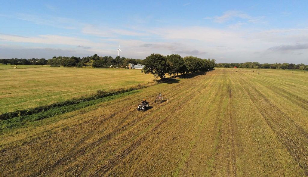
Magnitude Surveys uses a bespoke modular multi-sensor system which can be quickly configured between hand-pulled cart, motorised cart, and hand-carried modes, ensuring maximum efficiency and flexibility across changing survey environments, all while maintaining consistently high data quality. The system incorporates the latest in fluxgate sensor technology to provide higher sensitivity and additional data outputs, leading to more detailed visualisations and higher confidence in interpretation.

Share

Our techniques

Learn more about the techniques that we use.

Magnetometry

Measures the ambient magnetic field strength. Effective for detecting features with magnetic contrast from the surrounding soil, including burnt features, pits and ditches.

Ground Penetrating Radar (GPR)

Measures the travel time of reflected high-frequency electromagnetic radiation. Effective for detecting abrupt interface changes and voids, for example foundation remains, graves, burial chambers and cellars.

Electromagnetic Conductivity (EM)

Measures the ease of which current flow can be induced in material. Effective for detecting conductive features, such as geomorphology and subsurface landforms, ditches and earthworks.

Get a quote

Tell us about your project and we’ll let you know how we can help.