Ground Penetrating Radar (GPR)

Measures the travel time of reflected high-frequency electromagnetic radiation. Effective for detecting abrupt interface changes and voids, for example foundation remains, graves, burial chambers and cellars.
A man pushing GPR equipment

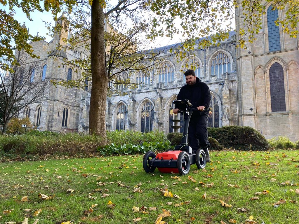
Ground-penetrating radar (GPR) measures the travel time of reflected high-frequency electromagnetic radiation. Effective for detecting abrupt interfaces between materials and fills. Typical example targets include foundation remains, graves, chambers and voids.

Magnitude Surveys can deploy hand-held or motorised, single-channel, multi-channel, multi-frequency or stepped-frequency systems according to the required survey target, depth, resolution and coverage.

Share

Our techniques

Learn more about the techniques that we use.

Aerial Reconnaissance

Incorporating aerial imaging during ‘walkover’ surveys extends the visual range of the surveyor, allowing reconnaissance to be carried out more safely and efficiently, with vastly more informative visual outputs.

Photogrammetry

Uses high-resolution cameras to create accurate and detailed topographical maps, scaled plans and 3D models of assets, sites and landscapes for use in mapping, topographic survey, inspections and monitoring.

Multispectral Imaging

Primarily used in precision agriculture, environmental surveys and forestry, this specialised sensor can also detect cropmarks caused by archaeological and other subsurface features.

Get a quote

Tell us about your project and we’ll let you know how we can help.