Aerial Photography and Videography

Aerial views provide unique, breath-taking perspectives, capturing assets, sites and landscapes as images, videos or photospheres. Perfect for reconnaissance surveys, settings assessments or promotional campaigns.
An aerial view of a period building

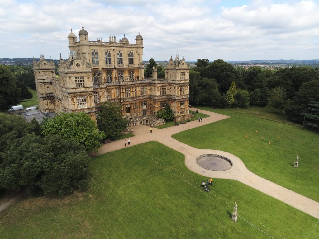
Aerial photographs and videos capture unique and informative perspectives of assets, sites, settings and landscapes. The results are visually stunning and can be used for a variety of purposes such as reconnaissance, inspection and condition monitoring, progress monitoring and promotional campaigns. Typical outputs included edited photographs, videos, panoramas and photospheres.

Magnitude Surveys employs a mixture of lightweight and heavier enterprise-grade aircraft and payloads to suit the needs of a specific project or location. All our pilots are fully qualified and CAA registered.

Share

Our techniques

Learn more about the techniques that we use.

Photogrammetry

Uses high-resolution cameras to create accurate and detailed topographical maps, scaled plans and 3D models of assets, sites and landscapes for use in mapping, topographic survey, inspections and monitoring.

Electromagnetic Conductivity (EM)

Measures the ease of which current flow can be induced in material. Effective for detecting conductive features, such as geomorphology and subsurface landforms, ditches and earthworks.

Ground Penetrating Radar (GPR)

Measures the travel time of reflected high-frequency electromagnetic radiation. Effective for detecting abrupt interface changes and voids, for example foundation remains, graves, burial chambers and cellars.

Get a quote

Tell us about your project and we’ll let you know how we can help.