
Sacha O’Connor
Sacha joined Magnitude Surveys in June 2023 as a Junior Project Officer. He studied Archaeology at the University of Chester and graduated in 2018, immediately after graduation he worked in the south of England for Wessex Archaeology as a field technician on small – large scale excavations, often on complex multi-period sites. In 2019 Sacha […]
Festival of Archaeology 2023
Magnitude Surveys are thrilled to be taking part in this years’ Festival of Archaeology with the CBA and the National Trust The Festival of Archaeology, the UK’s biggest annual celebration of archaeology, taking place from 15-30th July, will return this […]
Meet the team
Our team is a collection of highly trained experts with a long record of service and experience. See profile See profile See profile See profile See profile See profile See profile See profile See profile See profile See profile See profile See profile See profile See profile See profile See profile See profile See profile […]
News
About
As a fully independent archaeological geophysics contractor, we can provide you with unbiased advice from planning through to the completion of your archaeological geophysics project. We have expertise in all aspects of archaeological geophysics and can advise on the ideal technique combination for your project. The Company has grown organically from 3 to 50 employees […]
Contact us
If you’d like to speak to a member of the Magnitude Surveys team please email sales@magnitudesurveys.co.uk and we’ll get back to you as soon as we can.
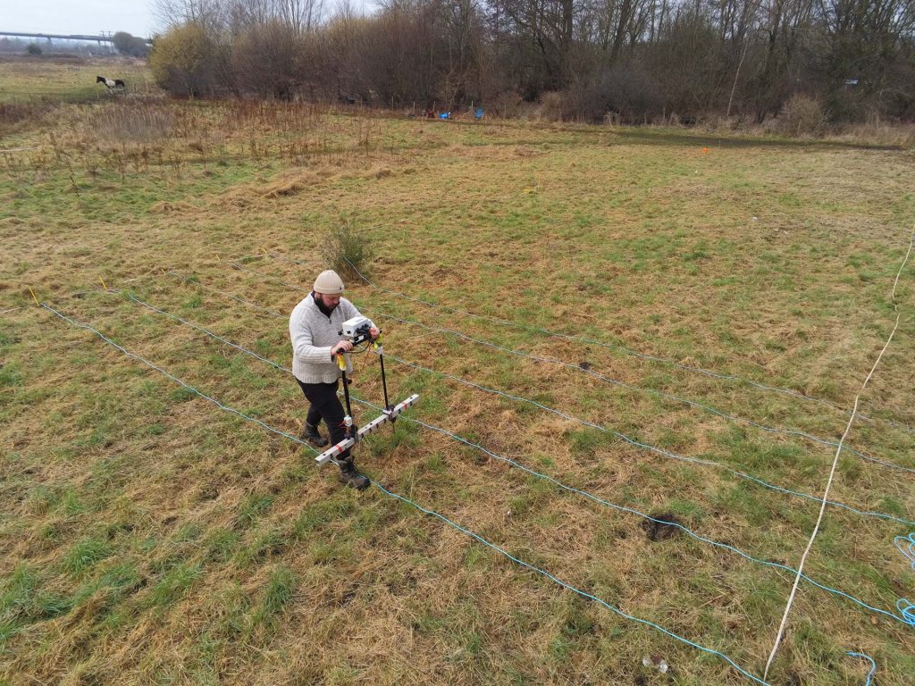
Magnetometry
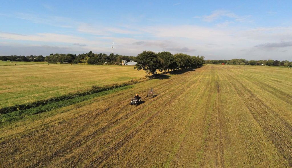
Measures the ambient magnetic field strength. Effective for detecting features with magnetic contrast from the surrounding soil, including burnt features, pits and ditches.
Ground Penetrating Radar (GPR)
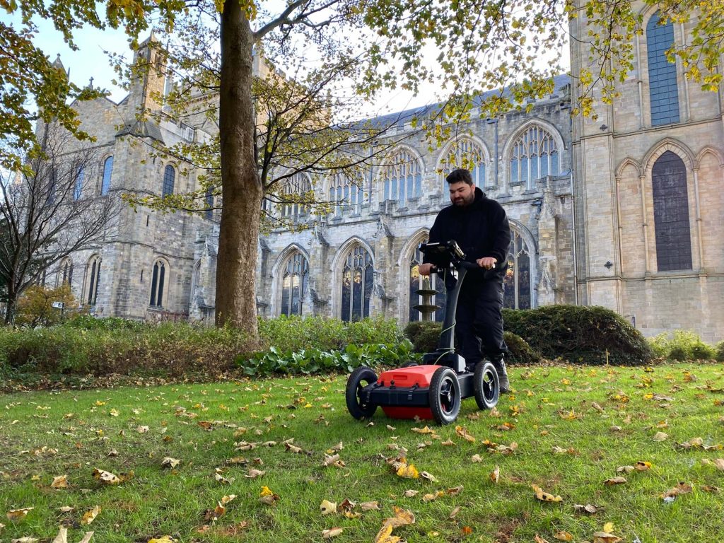
Measures the travel time of reflected high-frequency electromagnetic radiation. Effective for detecting abrupt interface changes and voids, for example foundation remains, graves, burial chambers and cellars.
Electromagnetic Conductivity (EM)
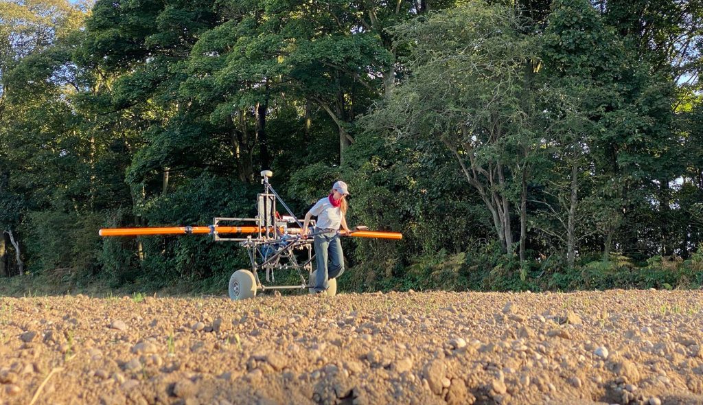
Measures the ease of which current flow can be induced in material. Effective for detecting conductive features, such as geomorphology and subsurface landforms, ditches and earthworks.
Earth Resistivity Tomography (ERT)
Multiple earth resistance profile measurements are fused to create 2D sections and 3D profiles of electrical resistivity through the ground, commonly used to determine the depth of known features.
Earth Resistance (ER)
Measures the difficulty of passing an electric current through the ground. Effective for detecting features with different moisture content from the surrounding soil, such as foundation remains and ditches.
Magnetic Susceptibility
Measures the ease with which a material can be magnetised. Effective for detecting features with magnetic contrast from the surrounding soil, including burnt features, pits, ditches, and intra-site activity zones.